

Mapping tools
I’ve been creating my maps so far in QGIS, which is excellent as well as being free and open source, but thought I’d give some other tools a try. I’ve been looking at Felt, an online mapping tool. It allows you to create and share maps for free, although you do have to pay for some of the features, which I’m not going to do unless it proves to be absolutely astounding.

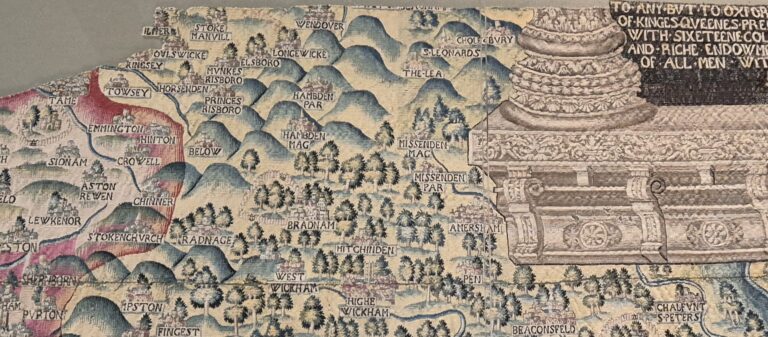
It does have some really useful features, like the ability to add layers of existing features to your map, then extract those features you want out of the provided layers onto your own, so you can just include the features you want in your map. This is really useful for building up a historical map, as you can just add in the buildings that were there at the right time period and leave the more modern buildings out.
For Old Amersham the historical buildings include just about everything on the High Street, Whielden Street and the Broadway and most of Bury End. It’s a shame that the buildings layer doesn’t appear to include a lot of the buildings on Whielden Street or the High Street, but at least there are some there, which should save some time in creating the map.
There’s a QGIS plugin which allows you to upload layer. Unfortunately that’s one of the things that’s locked away unless you pay for the service, and since it’s aimed at businesses, it has a monthly cost for a team to use it, so it’s way beyond my budget.


Can I ask a quick question about your site?
Sure, go ahead, happy to answer any questions