
Helpful house names
The helpful house names of many of the buildings in Amersham are a boon to the local historian trying to investigate the past uses of some of the buildings.
As I’ve been researching the town, I’ve been trying to find out more about the history of the buildings in the town, at least over the last couple of centuries. While the census should be an invaluable record for this, in the case of Amersham, there are no house numbers on any of the census returns I’ve seen so far.
As it turns out, this wasn’t just laziness on the part of the census enumerator but because there actually were no numbers to any of the buildings. Some, particularly the inns, had names, but most didn’t. Even when the buildings were numbered, the numbering was inconsistently applied, The reasons for this inconsistency are note entirely clear, but some theories are given in Eustace Alliott’s notes on the numbering of properties in Amersham. It seems to largely boil down to a reluctance on the part of the landowners to number the properties, and a failure to co-ordinate between them on a numbering system, so numbers were applied according to ownership. The issue wasn’t resolved until the council renumbered the properties in the early 1950’s so none of the census returns that I am able to access have the current, or indeed any, numbering on them.
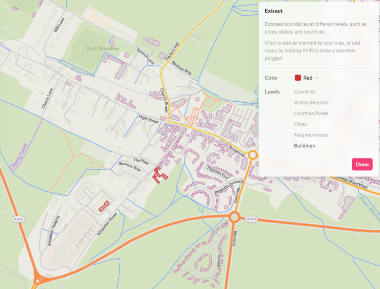
In order to plot on a map what the professions were of the occupiers of the properties over time, it’s been necessary to work out from the census which properties were which using certain properties as markers. In most cases, the pubs are actually named in the census, but even where they are not, the profession of publican combined with the street narrows it down considerably. By comparing successive censuses it’s often possible to verify the name is correct even where not stated. This is especially the case as publicans tend to have quite a long tenure at each pub, so often span a few censuses.
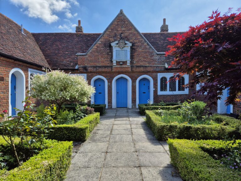
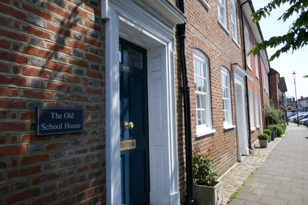
I’ve been using some contemporary maps, which also, helpfully note mills, farms and smithys alongside the pubs and hotels. Using these, I’ve been able to pinpoint a few businesses at particular times, which allows me to locate the family within the property. I’ve also been able to note changes to the buildings, although these are infrequent in Amersham Old Town where much of the High Street has remained unchanged for centuries. There are still many properties where the allocation of households from the census to specific properties on the map remains educated guesswork. Thankfully the residents of the town are proud of the heritage and history of their properties and many of them have names such as ‘The Old Bakery’, which, combined with the profession, helps to fill in a lot of the gaps. Although the families may change over time, a bakery, for example, with a baker’s oven inside it, is liable to be used as such by any resident of the building. Armed with this, it’s been possible to allocate families to properties, at least with a degree of accuracy that will allow me to colour code my maps by profession. There’s a long way to go before the maps are complete, but it’s steady progress.