QGIS and the trouble with tithes
Georeferencing the 1838 tithe map to use as a guide for creating historical maps

Tools I’ve used or experimented with in creating maps

Georeferencing the 1838 tithe map to use as a guide for creating historical maps

I’ve been looking at mapping tools and decided to have a play with Folium, a python library for mapping. The aim was to see how easy to use it was, and whether it had the flexibility to present geographical data in a…
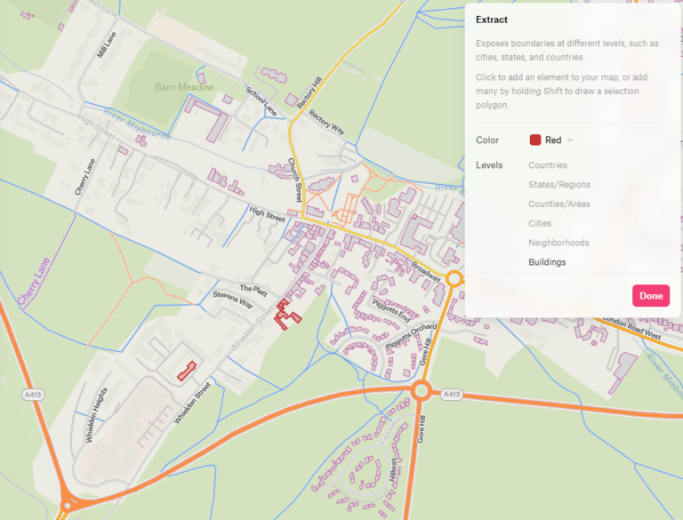
I’ve been creating my maps so far in QGIS, which is excellent as well as being free and open source, but thought I’d give some other tools a try. I’ve been looking at Felt, an online mapping tool. It allows you to…